A brief outline of a Noble Expedition to one of the farthest north cities in the world
Date of Expedition: Sunday, on the 8th day of the month of August in the year 2010Destination: Barrow, Alaska
Approximate location: 320 miles north of the Arctic Circle and 1,300miles south of the North Pole
Exact Coordinates: Latitude 71* 17' 44" N, Longitude 156* 45' 59" W
Mode of transport: Piper-Navajo Chieftain, a trusty 10 person, twin-engine aircraft
Flight plan: Depart Fairbanks at 8 am. Fly to Coldfoot, Alaska to refuel plane in case there is no fuel available in Barrow, as is sometimes the case. Take 10 minute "tour" of Coldfoot (i.e. go to Cafe to use the restroom). Depart Coldfoot a bit after 9 am. Arrive in Barrow at approximately 11am.
Barrow itinerary: Uh...Walk around and see some stuff. Eat at Pepe's Mexican restaurant. Swim in Arctic Ocean.
Adventurers on this Noble Barrow Expedition: 1) Elizabeth Angeles, fellow co-worker at the great Northern Alaskan Tour Company, 2) Raul Angeles, her husband, and yours truly, 3) Rowan Beraza.
~*~
The flight to Barrow
Our expedition began with an excellent briefing by my co-worker Mike, who pointed out Barrow on the map and explained our route. He also told some jokes. He was allegedly lured to a teaching job in a rural Alaskan village by the promise that there was a beautiful woman behind every tree. Upon arrival to his new home in a remote location he was disappointed at the discovery that there were no trees and consequently a lack of attractive women. So he moved to Fairbanks.


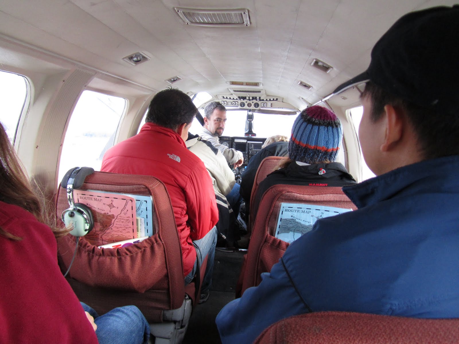
When the pilot was ready, Mike led us out on the tarmac and helped us board the plane.
Here's Bill asking us if we're ready to take off.
 Hells yea we're ready!
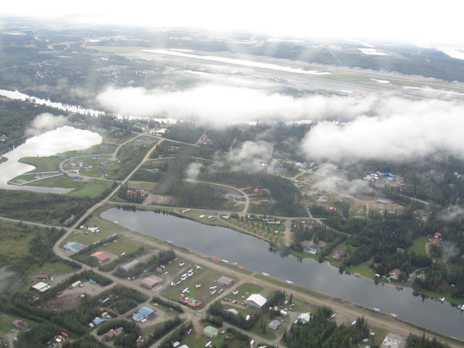
 Goodbye Fairbanks!

 The University of Alaska Fairbanks
Along the way our pilot kept us informed of what we were passing over. This is the Trans-Alaska Pipeline, which stretches the entire length of the state from Pump Station One in Prudhoe Bay all the way to Valdez 800 miles South and was built between 1975 and 1977. More than half the pipeline is above ground due to the prevalence of permafrost, which causes soil instability when it melts. The above ground sections are constructed in a zig-zag pattern, which our pilot jokingly explained was because the government had ordered too much pipe but didn't want to waste it. Of course the real reason has to do with the pipe's contracting and expanding with the extreme temperature changes that occur in Alaska. The zig-zag also allows for movement during the frequent earthquakes that shake Alaska.
Here you can see the pipeline as it exits an underground section.


Smoke from forest fires this year started to affect visibility.
 So we flew higher above the clouds.
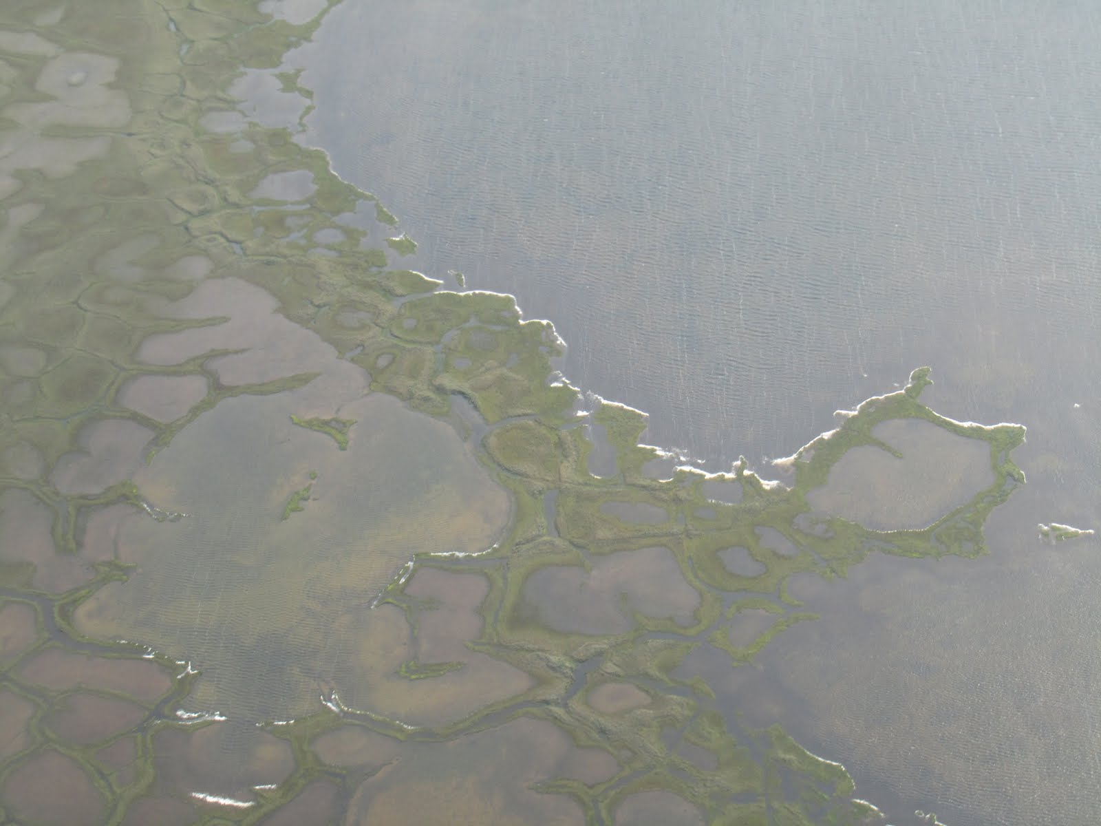
 As we neared Barrow our pilot flew very low to the ground in the hopes that we would spot a herd of Caribou. We were not so lucky, but it was still cool.


~*~
Stay tuned for An Expedition to Barrow Part II: A walk around town


Cool story Rowan :)
ReplyDeleteThanks! Barrow was awesome and I got to go there for FREE since I work for a tour company!
ReplyDelete